Jacksonville Skyline
After a week and a day, we departed Jacksonville and went down the St. Johns River to the point it intercepted the ICW. We delayed our departure until 10:30 AM to take advantage of the current and to depart on high tide (gets a little skinny in the Ortega River). Worked well, except when we rejoined the ICW we were going against a 1.5 knot current until we got to the Atlantic Highway Bridge.
Serenity's chart plotter program includes a tides and charts program. We can superimpose the currents on the chart. It gives us red arrows with the size of the arrow indicating the strength of the current. When we got to the Atlantic Highway Bridge, there was the
biggest arrow we have ever seen - 5.6 knots! Evidently, the construction of the bridge funnels the water under the bridge creating quite a strong and swirly current under the bridge. After a white-knuckle ride under the bridge and fighting the current, we stopped in Jacksonville Beach at the Beach Marina. Initially we had planned to anchor out, but decided that with the record low temperatures for Northern Florida, we would like to run a space heater tonight.
Neighbor installing WiFi antenna on a Manta 42
During our week in Jacksonville, we were able to get some maintenance done and fly out to Alabama to visit the oldest son. Unfortunately the Rosa Parks Museum was closed for filming, but we did get to see the State Capitol, and the Southern White House for the Confederate States of America. Jefferson Davis spent the spring of 1861 there, then decided it was going to get hot, so he moved to Richmond, VA. Also, Pollie got to see her first Pro Bass Shop. She was impressed, even bought camoflauge wrapping paper.
We actually missed the boat while in Alabama.
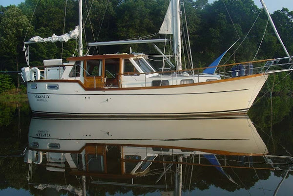
Serenity is definatelly looking "lived in," and Pollie only ocasionally grumbles about our "glorified camping."
Pollie's Corner
Mo's Corner


great photos
ReplyDelete